Our Services
GNSS Survey
Equipped with range of Trimble GNSS equipments for static and RTK survey, we have been providing high quality GNSS solutions to range of industries including Airports, Water Supply and Hydro projects.
Detailed Engineering Survey
We’re equipped with all the equipments and resources to perform detailed survey for variety of projects. We’ve completed detailed survey for projects like bridges, hospitals, roads including many others.
Land Development
We have developed lands for housing projects and other construction projects in Kathmandu and other parts of the country. We have more than 10 years of experience on land development.
Construction Survey
We have extensively worked on many construction projects to help the construction process with construction survey. Such projects have ranged from Drinking water projects to bridges and highways.
Aerial Surveying and Mapping
We’re a pioneer in aerial surveying and mapping in Nepal, we are changing the face of professional surveying. With aerial mapping we create 3D surface model, point cloud data, topographical surveys, volume measurements and digital terrain models (DTM) for measuring, mapping and managing land.
About Us
Geo Engineering Consultancy Pvt Ltd is government licensed consultancy providing land survey and development services. Our team consists of survey professional with experience of more than 15 years! Our team consists of surveyors, engineers, GPS & GIS experts with both technical and administrative knowledge of all kinds of surveying in Nepal.
Apart from surveying, we also provide CAD services. Our expertise include like CAD drafting, CAD conversion, Conversion of manual drawings to CAD, Land Development, Road Designs etc. We also offer GIS mapping services to go along with our CAD drafting services. We provide digitization/data extraction & attachment to all types of maps including cadastral maps, topographical data drawings.
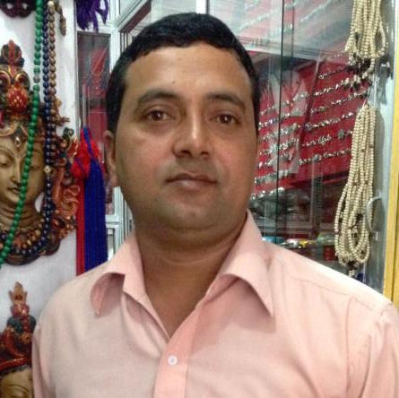
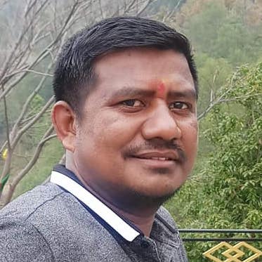
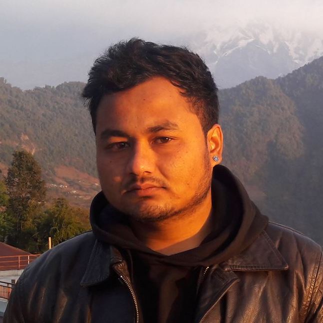
Our Team

Dipak Pokharel

Deelip Khanal

Hari Tiwari

Kamal B. Khatri

Manish Pantha

Sujan Khanal

Sundar Devkota

